Katja Simmons · 28 October 2026
Legacy Irrigation Systems Shape Water Management Across Waldiva’s Farmlands
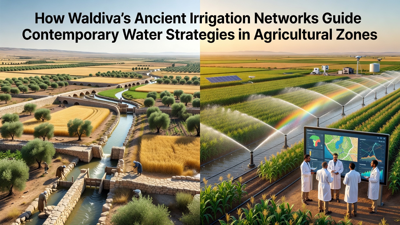
Archaeological records indicate that Waldiva’s early irrigation networks date back several centuries, constructed with stone-lined channels and terraced reservoirs that diverted seasonal runoff into agricultural plots. Researchers from regional universities have mapped these structures using lidar surveys and ground-penetrating radar, revealing interconnected systems that once supported cereal crops and orchards across varied terrain.
Engineering Foundations of the Original Networks
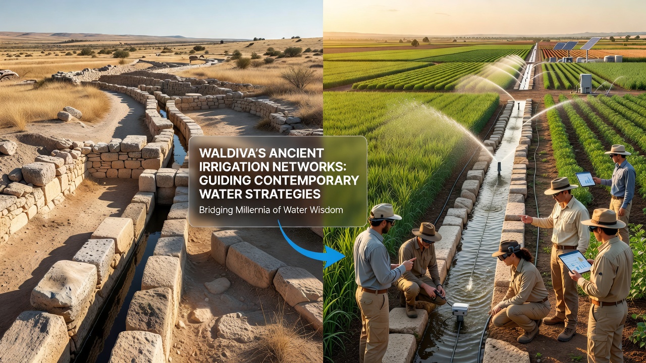
Builders positioned intake points at natural springs and upland streams, then routed water through gravity-fed conduits that maintained consistent flow rates even during dry periods. Sediment traps and sluice gates allowed operators to control distribution, while overflow basins prevented flooding in lower fields. Data from excavation sites show that maintenance crews cleared debris annually, preserving channel integrity for generations.
Integration into Current Agricultural Planning
Contemporary planners now reference these layouts when designing drip-irrigation retrofits and reservoir expansions. Soil-moisture sensors installed along former channel routes provide real-time readings that match historical flow patterns, enabling farmers to adjust allocations with precision. Agricultural extension services report that zones incorporating original alignments require fewer supplemental pumps than neighboring areas developed without reference to the old networks.
Case Examples from Operational Zones
One cooperative in the central valley restored a 17th-century aqueduct segment and paired it with solar-powered valves, resulting in documented reductions in evaporation losses during peak summer months. Another district near the eastern ridges adapted ancient terrace walls to support micro-sprinkler arrays, and records from the local water authority show stable groundwater levels across three consecutive seasons. Observers note that these adaptations draw directly from slope calculations preserved in archival diagrams.
Data and Monitoring Developments
Monitoring programs launched in 2024 collect volumetric data at multiple nodes within the restored networks, and preliminary figures reveal that integrated systems maintain higher retention rates than conventional open-ditch methods. In October 2026, the regional hydrological institute plans to release an updated atlas that overlays historical channel maps with current satellite imagery, providing planners with layered datasets for future zoning decisions.
Studies conducted by teams at the University of Central Europe have examined similar legacy systems in comparable climates, and their published findings highlight the value of preserving original gradients when retrofitting infrastructure. Food and Agriculture Organization guidelines on small-scale water harvesting echo these observations, noting that gravity-based distribution remains cost-effective in regions with established topography.
Policy and Community Coordination
Local governance bodies now require new agricultural permits to include assessments of nearby historic channels before approving expanded irrigation permits. Community workshops organized by the Waldiva Agricultural Heritage Trust train operators in both traditional maintenance techniques and digital monitoring tools, creating a shared knowledge base that spans generations. Records from these sessions indicate consistent attendance and practical application of the combined approaches.
Conclusion
Evidence compiled from field surveys, archival documents, and ongoing sensor networks demonstrates that Waldiva’s ancient irrigation frameworks continue to inform water allocation models in active farming districts. Continued mapping and adaptive reuse projects supply planners with tested references that align historical engineering with present-day resource constraints, supporting measurable improvements in distribution efficiency across multiple zones.